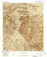
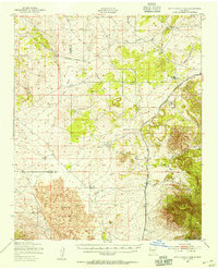
1981 Map of Broken Back Crater
USGS Topo · Published 1982About this map
Broken Back Crater dominates this volcanic landscape along the boundary between Socorro and Lincoln counties, rising from the stark basalt flows of The Malpais. This 1980s orthophotomosaic reveals a ranching economy reliant on an intricate system of water collection, with names like Hidden Water Hole Tank, Malpais Tank, and Crater Wells marking the vital infrastructure of the high desert. The southern portion of the map transitions into the restricted territory of the White Sands Missile Range, while the northern reaches are carved by deep drainages like Lobo Canyon and Hidden Canyon. The presence of the Black Hills Ranch and the Iron Mine Road suggests the intersection of traditional land use and historic industrial activity in this arid region of the Southwest.
Find a feature on this map
34 named features on this map. Tap any name to fly to it.
Don’t see what you’re looking for? This feature index may not catch every label — zoom into the map to look around manually.
Map Details
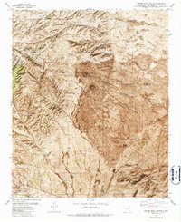
Editions of this 1981 Broken Back Crater Map
2 editions found
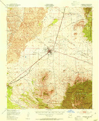
Other maps of this area

1918 · Oscura Peak
USGS Topo · 1:125,000
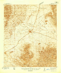
1938 · Carrizozo
USGS Topo · 1:48,000
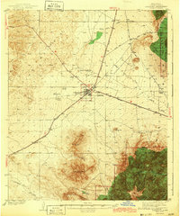
1943 · Carrizozo
USGS Topo · 1:62,500
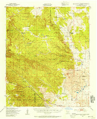
1948 · Broken Back Crater
USGS Topo · 1:62,500

1948 · Chihuahua Ranch
USGS Topo · 1:62,500
1950 · Carrizozo
USGS Topo · 1:62,500
1950 · Little Black Peak
USGS Topo · 1:62,500

1954 · Tularosa
USGS Topo · 1:250,000

1955 · Roswell
USGS Topo · 1:250,000

1958 · Roswell
USGS Topo · 1:250,000