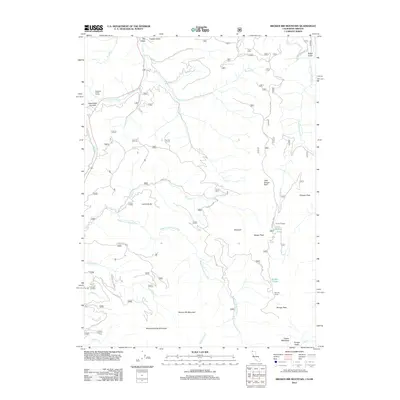
2012 Map of Broken Rib Mountain
USGS Topo · Published 2012About this map
Broken Rib Mountain dominates this high-elevation landscape in the Siskiyou Mountains, where the drainage systems of the Middle Fork Smith River and the E Fork Illinois River meet. This 2012 survey captures a remote wilderness managed through a network of US Forest Service routes, including Forest Rte 18N07 and Forest Rte 18N04. The area is marked by rugged peaks like Wounded Knee Mountain and Chicago Peak, with small high-mountain waters such as Whisky Lake and Sanger Lake providing focal points for back-country activity. The presence of Camp Chicago and Stevens Camp indicates established sites for seasonal habitation or resource management. Engineering through this difficult terrain is highlighted by the Randolph Collier Tunnel passing under Hazel View Summit, a critical transit point for the region's geography.
Find a feature on this map
37 named features on this map. Tap any name to fly to it.
Don’t see what you’re looking for? This feature index may not catch every label — zoom into the map to look around manually.
Map Details
Editions of this 2012 Broken Rib Mountain Map
This is the sole edition of this map. No revisions or reprints were ever made.
Other maps of this area

1917 · Kerby
USGS Topo · 1:125,000

1918 · Kerby
USGS Topo · 1:125,000

1922 · Preston Peak
USGS Topo · 1:125,000

1945 · Kerby
USGS Topo · 1:125,000

1945 · Gasquet
USGS Topo · 1:62,500

1948 · Weed
USGS Topo · 1:250,000

1950 · Weed
USGS Topo · 1:250,000

1951 · Gasquet
USGS Topo · 1:62,500

1954 · Cave Junction
USGS Topo · 1:62,500

1954 · Chetco Peak
USGS Topo · 1:62,500