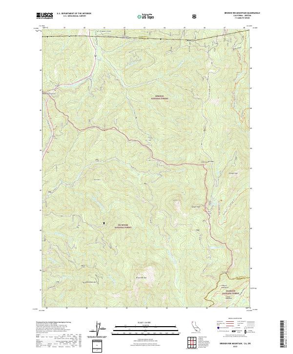
2022 Map of Broken Rib Mountain
USGS Topo · Published 2022About this map
Siskiyou National Forest and Six Rivers National Forest meet in this high-altitude landscape along the border of California and Oregon. The area is defined by the steep drainage of the Smith Wild and Scenic River, which carves through the mountains south of Oregon Mountain Rd. A network of historic paths and access routes provides the primary navigation through this difficult terrain, including the Sanger Peak Lookout Trl leading to a high-elevation vantage point at Sanger Peak. Toward the southeast, the terrain transitions into the Klamath National Forest, where the Siskiyou Mountains rise above Craker Meadows and Youngs Valley. This survey captures the remote character of the Klamath-Siskiyou bioregion, showing the complex water systems of Sanger Lake, Whisky Lake, and the headwaters of the East Fork Illinois River in their modern configuration.
Find a feature on this map
55 named features on this map. Tap any name to fly to it.
Don’t see what you’re looking for? This feature index may not catch every label — zoom into the map to look around manually.
Map Details
Editions of this 2022 Broken Rib Mountain Map
This is the sole edition of this map. No revisions or reprints were ever made.
Other maps of this area

1917 · Kerby
USGS Topo · 1:125,000

1918 · Kerby
USGS Topo · 1:125,000

1922 · Preston Peak
USGS Topo · 1:125,000

1945 · Kerby
USGS Topo · 1:125,000

1945 · Gasquet
USGS Topo · 1:62,500

1948 · Weed
USGS Topo · 1:250,000

1950 · Weed
USGS Topo · 1:250,000

1951 · Gasquet
USGS Topo · 1:62,500

1954 · Cave Junction
USGS Topo · 1:62,500

1954 · Chetco Peak
USGS Topo · 1:62,500