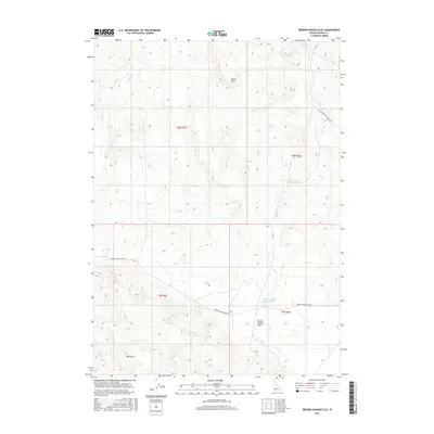
2017 Map of Broken Wagon Flat
USGS Topo · Published 2017About this map
Broken Wagon Flat defines the character of this high-plateau landscape in Owyhee County. This 2017 survey shows a network of seasonal water sources and primitive roadways that cross the arid terrain. The Broken Wagon Flat Reservoir serves as a critical point of interest in an area otherwise marked by intermittent drainage from Hot Cr and Sugar Cr. Rising above the flats, Horse Hill and Big Hill provide the primary topographic relief for the region. The map documents modern access via the Blackstone Grasmere Rd and the CCC Rd, while historical travel patterns are preserved in the naming of the Broken Wagon Trail Rd. These trails and roads reflect the long-standing use of the land for cattle ranching and resource management in southern Idaho.
Find a feature on this map
14 named features on this map. Tap any name to fly to it.
Don’t see what you’re looking for? This feature index may not catch every label — zoom into the map to look around manually.
Map Details
Editions of this 2017 Broken Wagon Flat Map
This is the sole edition of this map. No revisions or reprints were ever made.
Other maps of this area

1947 · Little Valley
USGS Topo · 1:24,000

1947 · Bruneau
USGS Topo · 1:62,500

1947 · Sugar Valley
USGS Topo · 1:24,000

1947 · Hot Spring
USGS Topo · 1:24,000
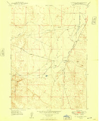
1948 · Little Valley
USGS Topo · 1:24,000

1948 · Sugar Valley
USGS Topo · 1:24,000

1948 · Indian Cove
USGS Topo · 1:62,500
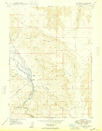
1949 · Hot Spring
USGS Topo · 1:24,000

1955 · Twin Falls
USGS Topo · 1:250,000

1956 · Big Hill
USGS Topo · 1:62,500