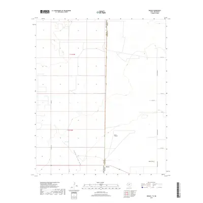
2019 Map of Bronco
USGS Topo · Published 2019About this map
Bronco sits squarely on the state line in this High Plains landscape, where the boundary between Lea Co and Yoakum Co meets the New Mexico-Texas border. The map illustrates a region defined by its vast drainage and water management systems, notably the Sulphur Springs Draw which cuts through the southern portion of the quadrangle. Local landmarks like Mexican Hill and North Windmill provide relief in the terrain, while agricultural or ranching infrastructure is represented by Oho Tank. This modern survey documents the grid of rural transit including Ashburn Pavement and Copeland, reflecting the persistent importance of road connectivity in this borderland cattle or farming country.
Find a feature on this map
19 named features on this map. Tap any name to fly to it.
Don’t see what you’re looking for? This feature index may not catch every label — zoom into the map to look around manually.
Map Details
Editions of this 2019 Bronco Map
This is the sole edition of this map. No revisions or reprints were ever made.
Other maps of this area

1954 · Brownfield
USGS Topo · 1:250,000

1958 · Brownfield
USGS Topo · 1:250,000

1962 · Brownfield
USGS Topo · 1:250,000

1970 · Prairieview NE
USGS Topo · 1:24,000

1970 · Bronco NE
USGS Topo · 1:24,000

1970 · Prairieview NW
USGS Topo · 1:24,000

1970 · Walking Cane Ranch
USGS Topo · 1:24,000

1970 · Gladiola
USGS Topo · 1:24,000

1970 · Bronco
USGS Topo · 1:24,000

1971 · Plains NW
USGS Topo · 1:24,000