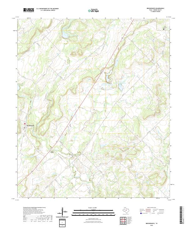
2022 Map of Brookesmith
USGS Topo · Published 2022About this map
Brookesmith and the nearby settlement of Dulin anchor this rural landscape in Brown County, defined by the winding paths of Clear Creek and its many tributaries. The area's water management is evident through several regional basins, including Coggin Lake and the engineered Soil Conservation Service Site 7 Reservoir. These features, along with Soil Conservation Service Site 8 Reservoir, demonstrate the post-war infrastructure and conservation efforts that shaped modern central Texas ranching and agriculture.
Find a feature on this map
35 named features on this map. Tap any name to fly to it.
Don’t see what you’re looking for? This feature index may not catch every label — zoom into the map to look around manually.
Map Details
Editions of this 2022 Brookesmith Map
This is the sole edition of this map. No revisions or reprints were ever made.
Other maps of this area

1885 · San Saba
USGS Topo · 1:125,000

1887 · Coleman
USGS Topo · 1:125,000

1889 · Brownwood
USGS Topo · 1:125,000

1889 · Coleman
USGS Topo · 1:125,000

1894 · Brady
USGS Topo · 1:125,000

1894 · Brownwood
USGS Topo · 1:125,000

1894 · San Saba
USGS Topo · 1:125,000

1925 · Brownwood 3-b
USGS Topo · 1:48,000

1925 · Brady 1-b
USGS Topo · 1:48,000

1925 · Brady 1-a
USGS Topo · 1:48,000