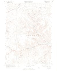
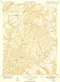
1969 Map of Brookland
USGS Topo · Published 1972About this map
Pine Creek carves a deep path through this 1969 landscape, where the northern highlands of Potter County meet the protected lands of Susquehannock State Forest and Denton Hill State Park. The settlement pattern reflects the era's reliance on valley floor transit, with Brookland and Walton situated along the Addison and Galeton rail line. Local life is anchored by landmarks like the Oak Hall Sch and Sweden Hill Ch, while the southern reaches of the map show the recreational infrastructure of the time, including Ski Lifts near Potato City Airfield. The map also documents industrial footprints in the hills, noted by various gas wells and a Pipeline network traversing the townships of Allegany, Ulysses, and Sweden.
Find a feature on this map
52 named features on this map. Tap any name to fly to it.
Don’t see what you’re looking for? This feature index may not catch every label — zoom into the map to look around manually.
Map Details
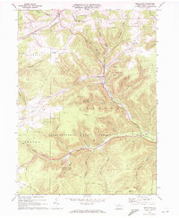
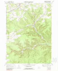
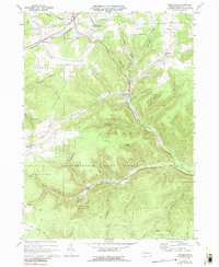
Editions of this 1969 Brookland Map
4 editions found
Other maps of this area

1899 · Gaines
USGS Topo · 1:62,500

1900 · Gaines
USGS Topo · 1:62,500

1932 · Genesee
USGS Topo · 1:62,500

1937 · Genesee
USGS Topo · 1:62,500

1947 · Conrad
USGS Topo · 1:62,500

1947 · Galeton
USGS Topo · 1:62,500

1947 · Ayers Hill
USGS Topo · 1:24,000

1947 · Cherry Springs
USGS Topo · 1:24,000

1947 · Galeton
USGS Topo · 1:24,000
1949 · Ayers Hill
USGS Topo · 1:24,000
Featured Places
- Sweden Township, PA
- Allegany Township, PA
- Newfield Junction, Ulysses Township
- Ulysses Township, PA
- Walton, Ulysses Township