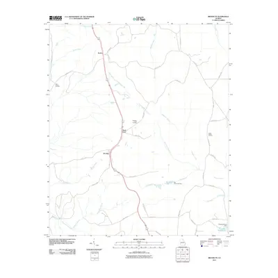
2011 Map of Brooklyn
USGS Topo · Published 2011About this map
The small communities of Brooklyn and Shady Grove anchor this 2011 survey, situated along the primary north-south corridor that passes through Renfroe in the northern portion of the quadrangle. This area of Georgia is defined by a dendritic network of waterways that flow toward the larger river basins, including Slaughter Creek, Little Slaughter Creek, and Little Hichitee Creek. The landscape transition is evident in the drainage patterns of Chamblers Branch and Hannahatchee Creek, which feed into the local hydrology alongside engineered features like the Van Cleve Lake Dam and Christmas Branch Dam.
Find a feature on this map
45 named features on this map. Tap any name to fly to it.
Don’t see what you’re looking for? This feature index may not catch every label — zoom into the map to look around manually.
Map Details
Editions of this 2011 Brooklyn Map
This is the sole edition of this map. No revisions or reprints were ever made.
Other maps of this area

1908 · Columbus
USGS Topo · 1:62,500

1929 · Columbus
USGS Topo · 1:48,000

1947 · Columbus
USGS Topo · 1:62,500

1949 · Glen Alta
USGS Topo · 1:24,000

1949 · Cusseta
USGS Topo · 1:24,000

1950 · Louvale
USGS Topo · 1:24,000

1950 · Buena Vista
USGS Topo · 1:24,000

1950 · Lumpkin
USGS Topo · 1:24,000

1950 · Buena Vista
USGS Topo · 1:62,500

1950 · Lumpkin
USGS Topo · 1:62,500