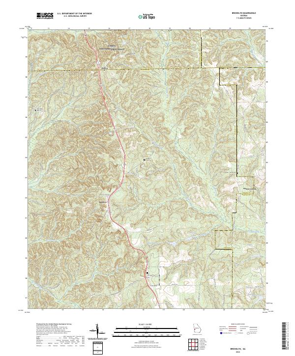
2024 Map of Brooklyn
USGS Topo · Published 2024About this map
Brooklyn and Renfroe anchor this rural landscape in Stewart County, where the terrain is defined by a dense network of tributaries flowing toward Hannahatchee Creek. The map documents a quiet, agrarian character where movement follows historic paths like Loven Mill Rd and Cotton Patch Ln. Family and community history are deeply etched into the land through sites such as the Red Hill Christian Church Cem and the Pickett - Brooks Cem.
Find a feature on this map
60 named features on this map. Tap any name to fly to it.
Don’t see what you’re looking for? This feature index may not catch every label — zoom into the map to look around manually.
Map Details
Editions of this 2024 Brooklyn Map
This is the sole edition of this map. No revisions or reprints were ever made.
Other maps of this area

1908 · Columbus
USGS Topo · 1:62,500

1929 · Columbus
USGS Topo · 1:48,000

1947 · Columbus
USGS Topo · 1:62,500

1949 · Glen Alta
USGS Topo · 1:24,000

1949 · Cusseta
USGS Topo · 1:24,000

1950 · Louvale
USGS Topo · 1:24,000

1950 · Buena Vista
USGS Topo · 1:24,000

1950 · Lumpkin
USGS Topo · 1:24,000

1950 · Buena Vista
USGS Topo · 1:62,500

1950 · Lumpkin
USGS Topo · 1:62,500