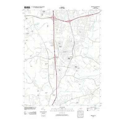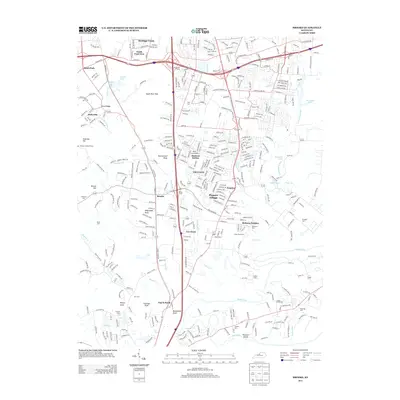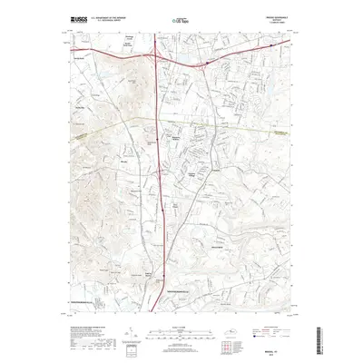
1981 Map of Brooks
USGS Topo · Published 1995About this map
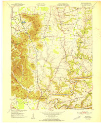
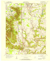
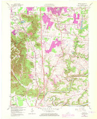
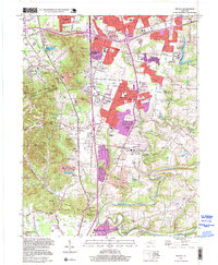
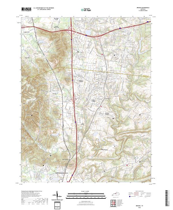
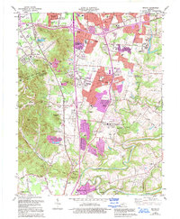
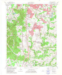
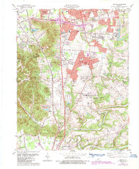
The South Park Hills dominate the western landscape of this Kentucky survey, where the Louisville and Nashville railroad corridor anchors a string of communities including Brooks, Hubers, and Shepherdsville. This era captures a period of significant suburban infill along Blue Lick Road and Preston Highway, evidenced by the expansion of Hillview and Pioneer Village. Local history is preserved in numerous family landmarks and rural institutions, from the Ferguson Cem tucked near the ridges to the McDowell Chapel and Old Regular Ch. The southern edge is defined by the winding course of Floyds Fork and the Salt River, featuring Peacock Island. Industrial activity is noted through scattered quarries, shale pits, and brickkilns, illustrating the area's transition from rural knobs to a more developed residential and industrial corridor.
Find a feature on this map
91 named features on this map. Tap any name to fly to it.
Don’t see what you’re looking for? This feature index may not catch every label — zoom into the map to look around manually.
Map Details
Editions of this 1981 Brooks Map
3 editions found
Historical Maps of Louisville Through Time
10 maps found