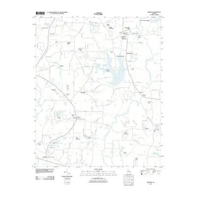
2011 Map of Brooks
USGS Topo · Published 2011About this map
Brooks and Woolsey anchor this portion of Fayette County, where the landscape is defined by the winding course of the Flint River and numerous managed water bodies. The area is notable for its legacy of named estates and residential developments like Stubbs Plantation, Gantt Acres, and Woolsey Creek Plantation, reflecting a transition from traditional agricultural land use to structured rural communities. Several historic family and municipal burial sites, including the John Bates Family Cemetery and Brooks City Cemetery, are preserved across the terrain, providing essential touchpoints for genealogical research.
Find a feature on this map
112 named features on this map. Tap any name to fly to it.
Don’t see what you’re looking for? This feature index may not catch every label — zoom into the map to look around manually.
Map Details
Editions of this 2011 Brooks Map
This is the sole edition of this map. No revisions or reprints were ever made.
Other maps of this area

1953 · Atlanta
USGS Topo · 1:250,000

1957 · Atlanta
USGS Topo · 1:250,000

1958 · Atlanta
USGS Topo · 1:250,000

1965 · Tyrone
USGS Topo · 1:24,000
1965 · Hampton
USGS Topo · 1:24,000

1965 · Fayetteville
USGS Topo · 1:24,000

1965 · Senoia
USGS Topo · 1:24,000

1965 · Griffin North
USGS Topo · 1:24,000

1965 · Brooks
USGS Topo · 1:24,000

1971 · Hollonville
USGS Topo · 1:24,000