
1965 Map of Fayetteville
USGS Topo · Published 1967About this map
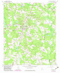
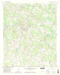
Fayetteville sits at the center of this mid-1960s study, surrounded by a landscape of small agricultural settlements and rising suburban development. The town's layout includes the County High Sch and several prominent burial grounds like the Camp Memorial Cemetery. To the southeast, the small community of Inman remains distinct, while the northern reaches show industrial and recreational landmarks such as the Drive-in Theater and the Mundys Mill site near Mundys Millpond.
Find a feature on this map
74 named features on this map. Tap any name to fly to it.
Don’t see what you’re looking for? This feature index may not catch every label — zoom into the map to look around manually.
Map Details
Editions of this 1965 Fayetteville Map
3 editions found
Other maps of this area

1888 · Atlanta
USGS Topo · 1:125,000

1890 · Atlanta
USGS Topo · 1:125,000

1891 · Marietta
USGS Topo · 1:125,000

1892 · Atlanta
USGS Topo · 1:125,000

1895 · Atlanta
USGS Topo · 1:125,000

1895 · Marietta
USGS Topo · 1:125,000

1897 · Marietta
USGS Topo · 1:125,000

1901 · Marietta
USGS Topo · 1:125,000

1953 · Atlanta
USGS Topo · 1:250,000

1954 · Fairburn
USGS Topo · 1:24,000