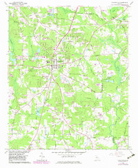
1965 Map of Fayetteville
USGS Topo · Published 1983About this map
Fayetteville serves as the focal point of this mid-century survey, showing the community just as it began to expand beyond its traditional center. The map details the local infrastructure of the era, from the County High Sch to the Drive-in Theater and Lookout Tower that once punctuated the landscape. This was a period of transition where older agricultural landmarks like Mundys Mill and its associated Mundys Millpond remained prominent alongside newer residential developments.
Find a feature on this map
64 named features on this map. Tap any name to fly to it.
Don’t see what you’re looking for? This feature index may not catch every label — zoom into the map to look around manually.
Map Details
Editions of this 1965 Fayetteville Map
3 editions found

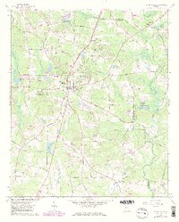
Other maps of this area

1888 · Atlanta
USGS Topo · 1:125,000

1890 · Atlanta
USGS Topo · 1:125,000

1891 · Marietta
USGS Topo · 1:125,000

1892 · Atlanta
USGS Topo · 1:125,000

1895 · Atlanta
USGS Topo · 1:125,000

1895 · Marietta
USGS Topo · 1:125,000

1897 · Marietta
USGS Topo · 1:125,000

1901 · Marietta
USGS Topo · 1:125,000

1953 · Atlanta
USGS Topo · 1:250,000

1954 · Fairburn
USGS Topo · 1:24,000