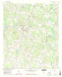
1965 Map of Fayetteville
USGS Topo · Published 1983About this map
Fayetteville serves as the focal point of this mid-1960s survey, showing the community just as residential expansion began to reach beyond the central core into the surrounding timber and farmland. Significant local landmarks include the County High Sch and Camp Memorial Cemetery, while the rural outskirts are defined by family-named holdings like Banks and Newell. The landscape is etched by a dense network of tributaries including Morning Creek, Whitewater Creek, and the Flint River, which forms the eastern boundary with Clayton County.
Find a feature on this map
75 named features on this map. Tap any name to fly to it.
Don’t see what you’re looking for? This feature index may not catch every label — zoom into the map to look around manually.
Map Details
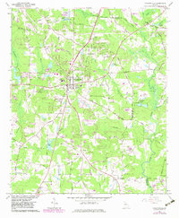
Editions of this 1965 Fayetteville Map
3 editions found

Other maps of this area

1888 · Atlanta
USGS Topo · 1:125,000

1890 · Atlanta
USGS Topo · 1:125,000

1891 · Marietta
USGS Topo · 1:125,000

1892 · Atlanta
USGS Topo · 1:125,000

1895 · Atlanta
USGS Topo · 1:125,000

1895 · Marietta
USGS Topo · 1:125,000

1897 · Marietta
USGS Topo · 1:125,000

1901 · Marietta
USGS Topo · 1:125,000

1953 · Atlanta
USGS Topo · 1:250,000

1954 · Fairburn
USGS Topo · 1:24,000