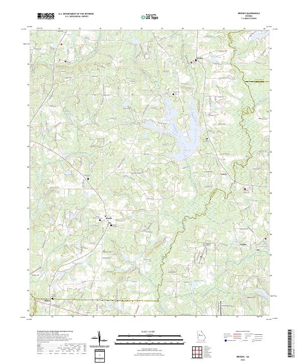
2024 Map of Brooks
USGS Topo · Published 2024About this map
Brooks stands at the heart of this Southern Fayette County landscape, where the agricultural legacy of middle Georgia meets a network of modern rural developments. The terrain is defined by the drainage basins of the Flint River and Whitewater Creek, with numerous smaller water bodies like Haddock Creek and Antioch Creek carving through the countryside. This area maintains a strong connection to its family histories, as evidenced by the distribution of small burial grounds such as the John Bates Family Cem and the Jones Cem near Jones Hill.
Find a feature on this map
159 named features on this map. Tap any name to fly to it.
Don’t see what you’re looking for? This feature index may not catch every label — zoom into the map to look around manually.
Map Details
Editions of this 2024 Brooks Map
This is the sole edition of this map. No revisions or reprints were ever made.
Other maps of this area

1953 · Atlanta
USGS Topo · 1:250,000

1957 · Atlanta
USGS Topo · 1:250,000

1958 · Atlanta
USGS Topo · 1:250,000

1965 · Tyrone
USGS Topo · 1:24,000
1965 · Hampton
USGS Topo · 1:24,000

1965 · Fayetteville
USGS Topo · 1:24,000

1965 · Senoia
USGS Topo · 1:24,000

1965 · Griffin North
USGS Topo · 1:24,000

1965 · Brooks
USGS Topo · 1:24,000

1971 · Hollonville
USGS Topo · 1:24,000