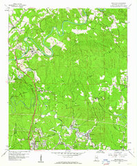
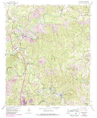
1959 Map of Brookside
USGS Topo · Published 1960About this map
Locust Fork meanders through the heart of this landscape, defining a region of intense industrial and rural activity in the late 1950s. The map illustrates a dense concentration of mining operations, specifically multiple Strip Mines and a Chert Pit, which shaped the economy around established company towns and settlements. The Louisville and Nashville Railroad and Southern Railway provide the backbone for transport, connecting communities like Brookside, Cardiff, and Sayre. Notable for local historians are the numerous religious and civic landmarks, including Old Calcedonia Ch, Lees Chapel, and the Jr High Sch in Cardiff. The southwestern corner is dominated by the U S Reservation (Flat Top Experimental Forest), contrasting with the active mining areas to the north and east. This era shows the transition of Jefferson County as it balanced forestry research with the expansion of heavy industry and small-town life.
Find a feature on this map
51 named features on this map. Tap any name to fly to it.
Don’t see what you’re looking for? This feature index may not catch every label — zoom into the map to look around manually.
Map Details
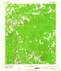
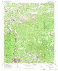
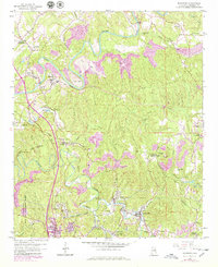
Editions of this 1959 Brookside Map
5 editions found
Other maps of this area

1889 · Birmingham
USGS Topo · 1:125,000

1892 · Birmingham
USGS Topo · 1:125,000

1893 · Jasper
USGS Topo · 1:125,000

1895 · Birmingham
USGS Topo · 1:125,000

1904 · Birmingham Coal District
USGS Topo · 1:62,500

1906 · Birmingham Special
USGS Topo · 1:62,500

1907 · Birmingham
USGS Topo · 1:125,000

1935 · Port Birmingham
USGS Topo · 1:48,000

1938 · Port Birmingham
USGS Topo · 1:62,500

1949 · Sipsey
USGS Topo · 1:24,000