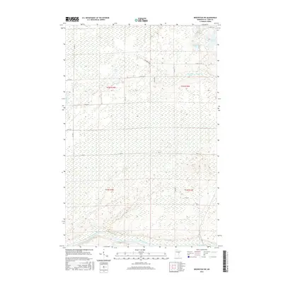
2016 Map of Brookston NW
USGS Topo · Published 2016About this map
The Saint Louis River snakes through the southern reaches of this Saint Louis County landscape, defining the local drainage patterns alongside the Little Whiteface River. The terrain is characterized by a dense network of wetlands and small glacial lakes, including the aptly named Round Lake, Crooked Lake, and Spider Lake. This 2016 survey captures a remote section of northern Minnesota where transportation is limited to a sparse grid of county routes like Co Hwy 5 and unpaved connectors such as Richardson Rd. Much of the area remains dominated by the natural hydrology of the Arrowhead Region, with Spider Cr and Muskrat Lake situated within a landscape primarily organized by Public Land Survey System townships such as t52n r19w and t52n r18w.
Find a feature on this map
23 named features on this map. Tap any name to fly to it.
Don’t see what you’re looking for? This feature index may not catch every label — zoom into the map to look around manually.
Map Details
Editions of this 2016 Brookston NW Map
This is the sole edition of this map. No revisions or reprints were ever made.
Other maps of this area

1953 · Payne
USGS Topo · 1:24,000

1953 · Alborn
USGS Topo · 1:24,000

1953 · Brookston
USGS Topo · 1:24,000

1953 · Brookston NW
USGS Topo · 1:24,000

1953 · Duluth
USGS Topo · 1:250,000

1954 · Martin Lake
USGS Topo · 1:24,000

1954 · Hibbing
USGS Topo · 1:250,000

1957 · Hibbing
USGS Topo · 1:250,000

1958 · Hibbing
USGS Topo · 1:250,000

1958 · Duluth
USGS Topo · 1:250,000