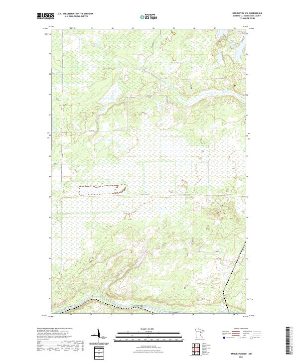
2022 Map of Brookston NW
USGS Topo · Published 2022About this map
The Saint Louis River winds through the southern reaches of this landscape, its path followed by the St Louis River Trl. This area of St. Louis County is characterized by a dense network of water features, including the Little Whiteface River and the meandering Spider Cr. The land is organized into a grid of rural routes and county roads that provide access to the wetlands and lowlands typical of this northern Minnesota region.
Find a feature on this map
20 named features on this map. Tap any name to fly to it.
Don’t see what you’re looking for? This feature index may not catch every label — zoom into the map to look around manually.
Map Details
Editions of this 2022 Brookston NW Map
This is the sole edition of this map. No revisions or reprints were ever made.
Other maps of this area

1953 · Payne
USGS Topo · 1:24,000

1953 · Alborn
USGS Topo · 1:24,000

1953 · Brookston
USGS Topo · 1:24,000

1953 · Brookston NW
USGS Topo · 1:24,000

1953 · Duluth
USGS Topo · 1:250,000

1954 · Martin Lake
USGS Topo · 1:24,000

1954 · Hibbing
USGS Topo · 1:250,000

1957 · Hibbing
USGS Topo · 1:250,000

1958 · Hibbing
USGS Topo · 1:250,000

1958 · Duluth
USGS Topo · 1:250,000