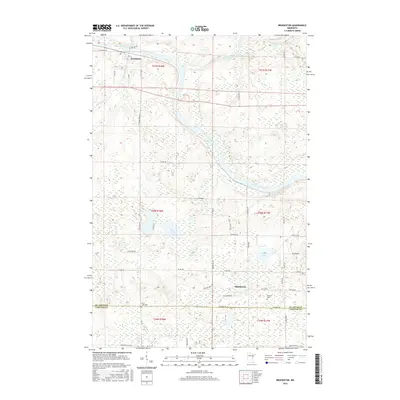
2016 Map of Brookston
USGS Topo · Published 2016About this map
Brookston sits at the northern edge of this landscape where the Cloquet River joins the Saint Louis River, a critical hydrological junction in the northern woods. This map documents a region defined by extensive wetlands and meandering river valleys along the border of St. Louis and Carlton Counties. Further south, the settlement of Mahnomen is surrounded by a network of rural roads such as Worgren Rd and Mahnomen Rd. The area’s history is reflected in several local sites, including Birch Lake Cem and Brevator Cem, alongside distinctive water bodies like Twin Lakes and Simian Lake. The drainage patterns, including the path of Martin Br and Stoney Brook, illustrate the complex topography that has shaped the development of these timber and river communities.
Find a feature on this map
54 named features on this map. Tap any name to fly to it.
Don’t see what you’re looking for? This feature index may not catch every label — zoom into the map to look around manually.
Map Details
Editions of this 2016 Brookston Map
This is the sole edition of this map. No revisions or reprints were ever made.
Other maps of this area

1953 · Saginaw
USGS Topo · 1:24,000

1953 · Alborn
USGS Topo · 1:24,000

1953 · Brookston
USGS Topo · 1:24,000

1953 · Independence
USGS Topo · 1:24,000

1953 · Brookston NW
USGS Topo · 1:24,000

1953 · Duluth
USGS Topo · 1:250,000

1954 · Cloquet
USGS Topo · 1:24,000

1954 · Iverson
USGS Topo · 1:24,000

1954 · Sawyer
USGS Topo · 1:24,000

1954 · Martin Lake
USGS Topo · 1:24,000