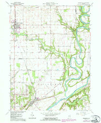
1962 Map of Brookston
USGS Topo · Published 1987About this map
The Tippecanoe Battlefield Memorial stands as a central historical landmark at the southern edge of this landscape, marking the site of the 1811 conflict near the settlement of Battle Ground. The area is defined by the significant confluence of the Tippecanoe River and the Wabash River, which carve a winding path through the prairie. While the northern section around Brookston and Springboro reflects a grid-based agricultural pattern, the riverbanks are densely wooded and dotted with recreational sites like Camp Tecumseh and the Battle Ground Campground. Genealogists will find several notable burial grounds throughout the quadrangle, including the Smelcer Cem and Harvey Cem. The transportation network relies on the Csxt rail line and a series of rural roads like Prairie Road and Tower Road, illustrating the post-war development of White and Tippecanoe Counties.
Find a feature on this map
46 named features on this map. Tap any name to fly to it.
Don’t see what you’re looking for? This feature index may not catch every label — zoom into the map to look around manually.
Map Details
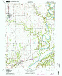
Editions of this 1962 Brookston Map
2 editions found
Other maps of this area

1941 · Lafayette
USGS Topo · 1:24,000

1942 · Lafayette
USGS Topo · 1:24,000

1950 · Lafayette
USGS Topo · 1:24,000

1953 · Danville
USGS Topo · 1:250,000

1955 · Danville
USGS Topo · 1:250,000

1956 · Danville
USGS Topo · 1:250,000

1961 · Pyrmont
USGS Topo · 1:24,000

1961 · Lafayette East
USGS Topo · 1:24,000
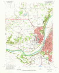
1961 · Lafayette West
USGS Topo · 1:24,000

1962 · Brookston SW
USGS Topo · 1:24,000