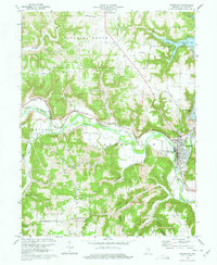
1972 Map of Brookville
USGS Topo · Published 1977About this map
Brookville sits at the confluence of the Whitewater River and its forks, serving as a focal point for the region's transportation and water history in the early 1970s. The landscape is defined by the legacy of the Whitewater Canal, with preserved landmarks such as the Whitewater Canal Memorial Lock and an Aqueduct near the small settlement of Yellow Bank. The emergence of Brookville Lake to the northeast represents a significant hydrological shift for the area, contrasting with the older agricultural and ecclesiastical patterns found in the surrounding townships. Rural life is anchored by numerous country churches and cemeteries, including St Philomenas Ch in the south and Ebenezer Ch to the north. Industrial and commemorative sites are scattered throughout, from the Penn Central rail lines to the Flood Victims Memorial, reflecting the community's long relationship with the river valley.
Find a feature on this map
51 named features on this map. Tap any name to fly to it.
Don’t see what you’re looking for? This feature index may not catch every label — zoom into the map to look around manually.
Map Details
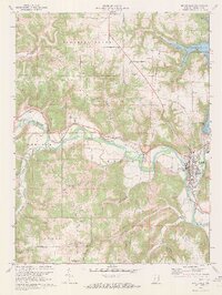
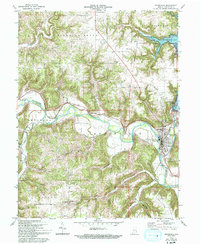
Editions of this 1972 Brookville Map
3 editions found
Other maps of this area

1915 · College Corner
USGS Topo · 1:48,000

1915 · Harrison
USGS Topo · 1:48,000

1918 · College Corner
USGS Topo · 1:62,500

1946 · Batesville
USGS Topo · 1:24,000

1948 · Fairfield
USGS Topo · 1:24,000

1953 · Cincinnati
USGS Topo · 1:250,000

1955 · Mount Carmel
USGS Topo · 1:24,000
1955 · Cedar Grove
USGS Topo · 1:24,000

1956 · Everton
USGS Topo · 1:24,000

1956 · Alpine
USGS Topo · 1:24,000