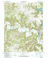
1972 Map of Brookville
USGS Topo · Published 1993About this map
The Whitewater River valley defines this part of Franklin County, showing a landscape shaped by both early transportation and modern water management. The city of Brookville sits at the confluence of the East and West Forks, an area rich in memorial sites such as the Flood Victims Memorial and the Whitewater Canal Memorial Lock, which preserves a segment of the historic nineteenth-century canal system. To the north, the massive impoundment of Brookville Lake has transformed the terrain, yet old transport routes like Treaty Line Road still trace the paths of earlier pioneers.
Find a feature on this map
41 named features on this map. Tap any name to fly to it.
Don’t see what you’re looking for? This feature index may not catch every label — zoom into the map to look around manually.
Map Details
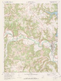
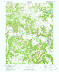
Editions of this 1972 Brookville Map
3 editions found
Other maps of this area

1915 · College Corner
USGS Topo · 1:48,000

1915 · Harrison
USGS Topo · 1:48,000

1918 · College Corner
USGS Topo · 1:62,500

1946 · Batesville
USGS Topo · 1:24,000

1948 · Fairfield
USGS Topo · 1:24,000

1953 · Cincinnati
USGS Topo · 1:250,000

1955 · Mount Carmel
USGS Topo · 1:24,000
1955 · Cedar Grove
USGS Topo · 1:24,000

1956 · Everton
USGS Topo · 1:24,000

1956 · Alpine
USGS Topo · 1:24,000