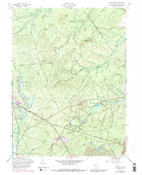
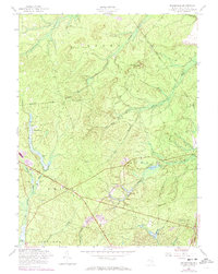
1957 Map of Brookville
USGS Topo · Published 1988About this map
The intersection of Pine Barrens water systems and early New Jersey industry is evident across this landscape, where the Oswego River and Oyster Creek drain a complex network of wetlands. In the mid-20th century, the landscape is defined by the heavy presence of Cranberry Bogs, particularly near the settlement of Brookville. Small, scattered communities like Howardsville and Warren Grove are linked by historic routes such as Barnegat Road and the developing Garden State Parkway.
Find a feature on this map
34 named features on this map. Tap any name to fly to it.
Don’t see what you’re looking for? This feature index may not catch every label — zoom into the map to look around manually.
Map Details
Editions of this 1957 Brookville Map
5 editions found
Other maps of this area

1884 · Whitings
USGS Topo · 1:62,500

1888 · Barnegat
USGS Topo · 1:62,500

1888 · Little Egg Harbor
USGS Topo · 1:62,500

1888 · Long Beach
USGS Topo · 1:62,500

1888 · Whitings
USGS Topo · 1:62,500

1893 · Little Egg Harbor
USGS Topo · 1:62,500

1893 · Long Beach
USGS Topo · 1:62,500

1893 · Barnegat
USGS Topo · 1:62,500

1898 · Barnegat
USGS Topo · 1:62,500

1919 · Long Beach
USGS Topo · 1:62,500