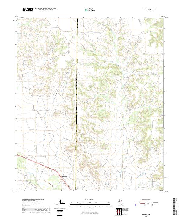
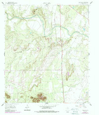
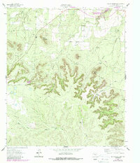
2022 Map of Broome
USGS Topo · Published 2022This historical map portrays the area of Broome in 2022, primarily covering Coke County as well as portions of Sterling County. Featuring a scale of 1:24000, this map provides a highly detailed snapshot of the terrain, roads, buildings, counties, and historical landmarks in the Broome region at the time. Published in 2022, it is the sole known edition of this map.
Map Details
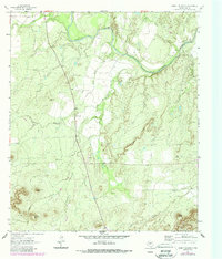
Editions of this 2022 Broome Map
This is the sole edition of this map. No revisions or reprints were ever made.
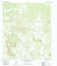
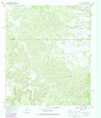
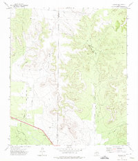
Historical Maps of Coke County Through Time
25 maps found
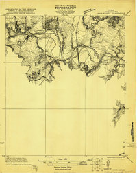
1921 Mays School
Coke County, TX
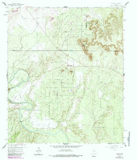
1959 Dead Indian Mountain
Coke County, TX
1959 Silver
Coke County, TX
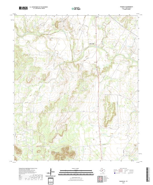
1961 Shawville
Coke County, TX
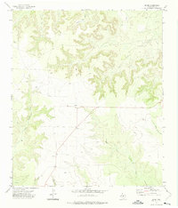
1962 Cement Mountain
Coke County, TX
1962 Edith
Coke County, TX
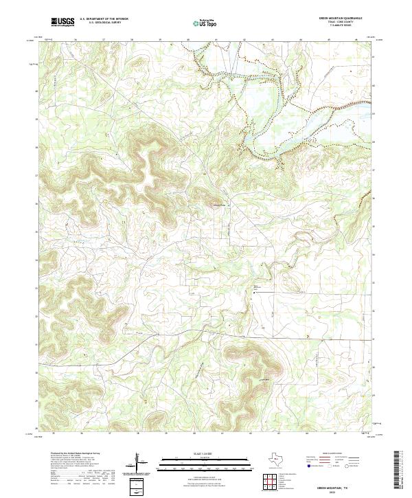
1962 Green Mountain
Coke County, TX
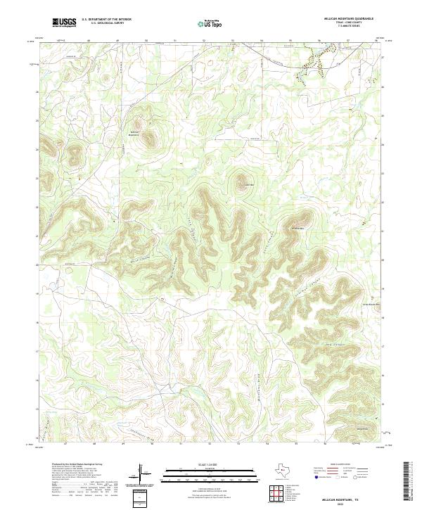
1962 Millican Mountains
Coke County, TX
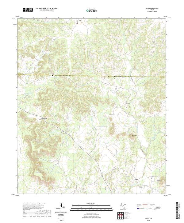
1962 Sanco
Coke County, TX
1969 Blackwell SW
Coke County, TX
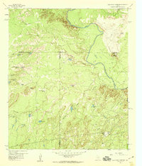
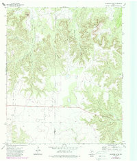
1972 Broome
Coke County, TX
1972 Crawford Slide
Coke County, TX
1972 Divide
Coke County, TX
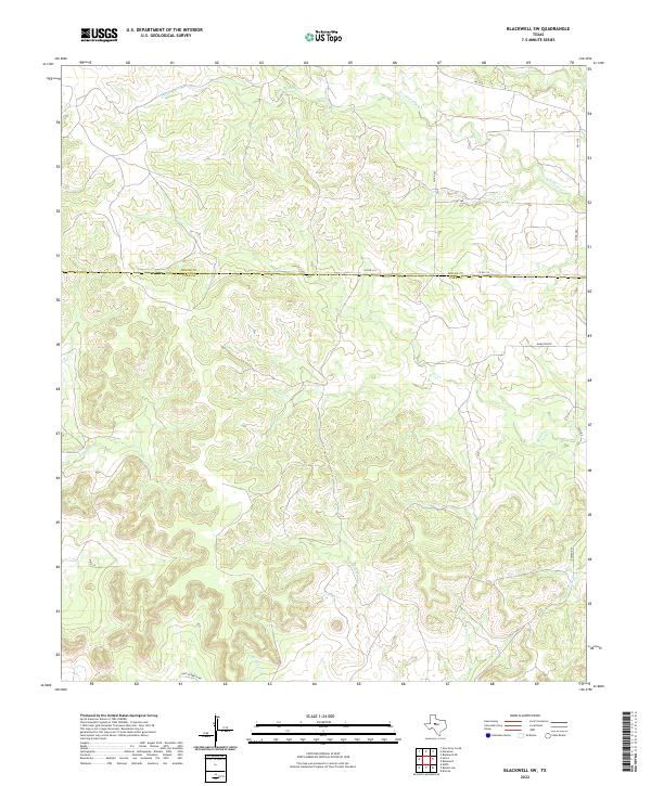
2022 Blackwell SW
Coke County, TX
2022 Broome
Coke County, TX
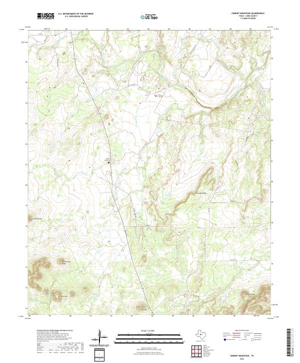
2022 Cement Mountain
Coke County, TX
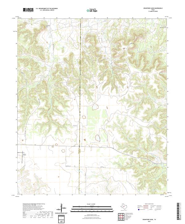
2022 Crawford Slide
Coke County, TX
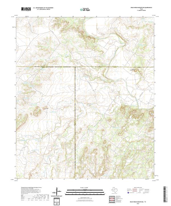
2022 Dead Indian Mountain
Coke County, TX
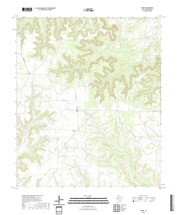
2022 Divide
Coke County, TX
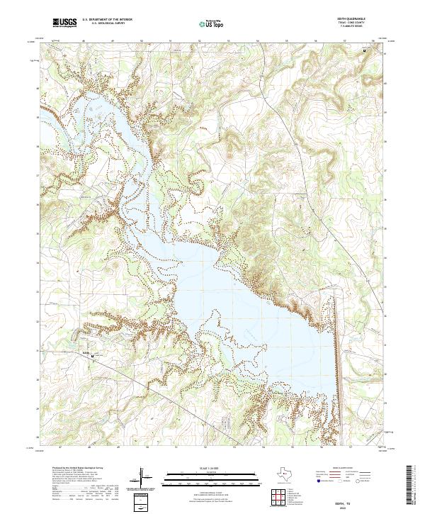
2022 Edith
Coke County, TX
2022 Green Mountain
Coke County, TX
2022 Millican Mountains
Coke County, TX
2022 Sanco
Coke County, TX
2022 Shawville
Coke County, TX
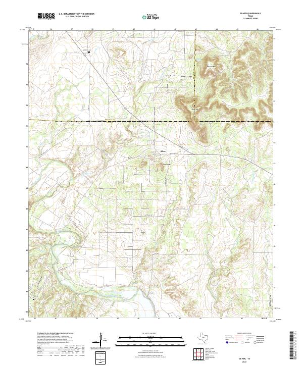
2022 Silver
Coke County, TX