
1972 Map of Broome
USGS Topo · Published 1974About this map
The Broome settlement and its surrounding rangelands occupy this section of the West Texas landscape during the early 1970s. Located along the Sterling Co Coke Co boundary, the area is defined by the drainage of the North Concho River and its various tributaries, including the seasonal China Draw and Walnut Creek. The terrain transitions from flat valley floors to the sharp elevation of Shelving Rock Bluff, reflecting the erosion-carved topography typical of the Edwards Plateau's northern edges.
Find a feature on this map
13 named features on this map. Tap any name to fly to it.
Don’t see what you’re looking for? This feature index may not catch every label — zoom into the map to look around manually.
Map Details
Editions of this 1972 Broome Map
This is the sole edition of this map. No revisions or reprints were ever made.
Other maps of this area

1954 · San Angelo
USGS Topo · 1:250,000

1957 · Carlsbad
USGS Topo · 1:62,500

1958 · San Angelo
USGS Topo · 1:250,000

1962 · Green Mountain
USGS Topo · 1:24,000

1965 · San Angelo
USGS Topo · 1:250,000

1972 · Sterling City
USGS Topo · 1:24,000

1972 · Dog Creek NE
USGS Topo · 1:24,000
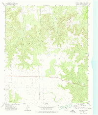
1972 · Crawford Slide
USGS Topo · 1:24,000
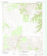
1972 · Sterling City NW
USGS Topo · 1:24,000

1972 · Dog Creek NW
USGS Topo · 1:24,000