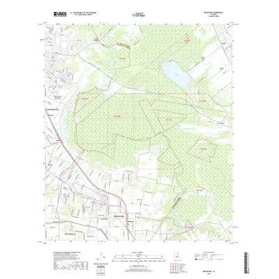
2018 Map of Broussard
USGS Topo · Published 2018About this map
Lafayette and its surrounding parishes are defined by a complex network of waterways and low-lying wetlands in this 2018 survey. The landscape transitions from the urban density of the city and nearby Broussard to the ecological expanse of the Grenouillere Swamp and Lake la Pointe. This region's hydrological character is dictated by the Vermilion River and the meandering Cypress Island Coulee, which weave through the agricultural and residential corridors.
Find a feature on this map
155 named features on this map. Tap any name to fly to it.
Don’t see what you’re looking for? This feature index may not catch every label — zoom into the map to look around manually.
Map Details
Editions of this 2018 Broussard Map
This is the sole edition of this map. No revisions or reprints were ever made.
Other maps of this area

1939 · St. Martinsville
USGS Topo · 1:62,500

1940 · Arnaudville
USGS Topo · 1:62,500

1946 · Milton
USGS Topo · 1:31,680

1946 · Lafayette
USGS Topo · 1:31,680

1952 · Lake Charles
USGS Topo · 1:250,000

1954 · Lafayette
USGS Topo · 1:31,680
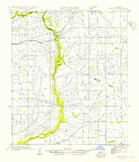
1954 · Milton
USGS Topo · 1:31,680

1954 · Lake Charles
USGS Topo · 1:250,000

1954 · Baton Rouge
USGS Topo · 1:250,000

1955 · Lafayette
USGS Topo · 1:24,000