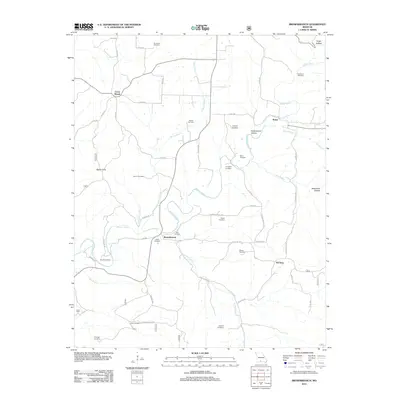
2012 Map of Brownbranch
USGS Topo · Published 2012About this map
Brownbranch serves as a central point in this part of Taney County, where the winding course of Beaver Creek meets Little Brown Branch. The area is characterized by a high density of small family and community burial grounds, such as Summers Cemetery, Horner Cemetery, and Watterson Cemetery, which are scattered among the ridges and hollows. These sites, along with settlements like Rome and Cross Roads, illustrate a long-standing pattern of upland Ozark settlement where homes and community hubs followed the narrow creek valleys and sheltered terrain like Kings Hollow and Peckerwood Hollow. The road network, including State HWY W and numerous county routes like Old Barn RD, traces the natural topography, linking the dispersed community of McClurg to the surrounding hills. This landscape remains primarily rural, defined by its watercourses like Caney Creek and the many named hollows that have shaped local life for generations.
Find a feature on this map
58 named features on this map. Tap any name to fly to it.
Don’t see what you’re looking for? This feature index may not catch every label — zoom into the map to look around manually.
Map Details
Editions of this 2012 Brownbranch Map
This is the sole edition of this map. No revisions or reprints were ever made.
Other maps of this area

1936 · Thornfield
USGS Topo · 1:48,000

1936 · Ava
USGS Topo · 1:48,000

1937 · Bradleyville
USGS Topo · 1:48,000

1942 · Ava
USGS Topo · 1:62,500

1943 · Protem
USGS Topo · 1:62,500

1943 · Thornfield
USGS Topo · 1:62,500

1943 · Bradleyville
USGS Topo · 1:62,500

1945 · Ava
USGS Topo · 1:62,500

1945 · Harrison
USGS Topo · 1:250,000

1945 · Thornfield
USGS Topo · 1:62,500