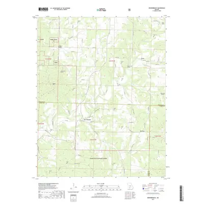
2017 Map of Brownbranch
USGS Topo · Published 2017About this map
Brownbranch and the neighboring settlements of Rome and McClurg lie within a complex landscape of hollows and ridges in the Missouri Ozarks. Large sections of the Mark Twain National Forest define the southwestern and northern reaches of the area, punctuated by the high points of the Walker Hills. The rural character of the region is evident in the high density of small family cemeteries, such as Summers Cem, Watterson Cem, and Dann Cem, which are scattered throughout the watershed of Beaver Creek. These landmarks, along with a network of country roads like Caney Creek Rd and Chigger Gulch Dr, trace the long-standing community boundaries and genealogical history of Taney and Douglas counties.
Find a feature on this map
81 named features on this map. Tap any name to fly to it.
Don’t see what you’re looking for? This feature index may not catch every label — zoom into the map to look around manually.
Map Details
Editions of this 2017 Brownbranch Map
This is the sole edition of this map. No revisions or reprints were ever made.
Other maps of this area

1936 · Thornfield
USGS Topo · 1:48,000

1936 · Ava
USGS Topo · 1:48,000

1937 · Bradleyville
USGS Topo · 1:48,000

1942 · Ava
USGS Topo · 1:62,500

1943 · Protem
USGS Topo · 1:62,500

1943 · Thornfield
USGS Topo · 1:62,500

1943 · Bradleyville
USGS Topo · 1:62,500

1945 · Ava
USGS Topo · 1:62,500

1945 · Harrison
USGS Topo · 1:250,000

1945 · Thornfield
USGS Topo · 1:62,500