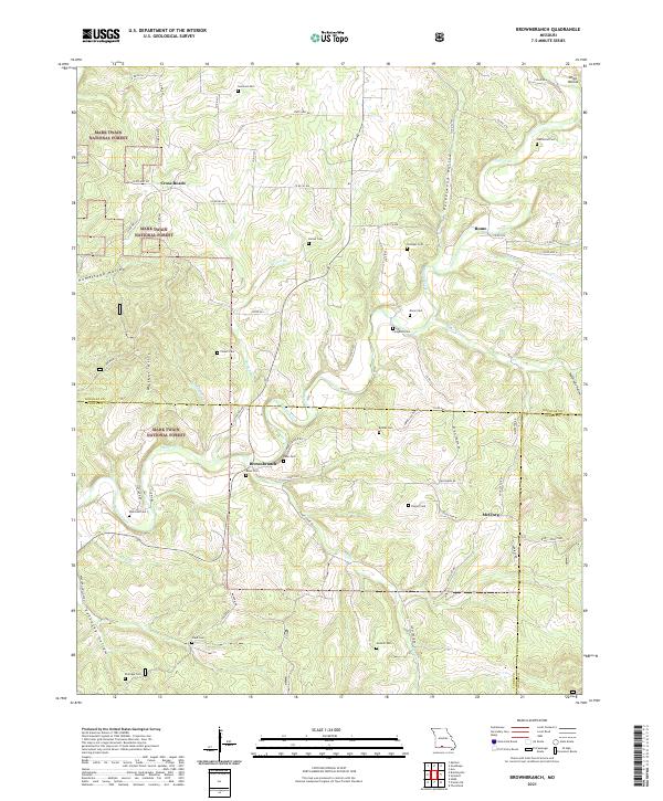
2021 Map of Brownbranch
USGS Topo · Published 2021About this map
Brownbranch and the surrounding Ozark woodlands of Mark Twain National Forest define this landscape where Douglas, Taney, and Ozark counties converge. The terrain is deeply incised by Beaver Creek and its many tributaries, including Jack Br, Bear Br, and Caney Cr. This network of hollows, such as Peckerwood Hollow and Homestead Hollow, dictates the historical settlement patterns, with small communities like Rome and McClurg situated near the watercourses.
Find a feature on this map
76 named features on this map. Tap any name to fly to it.
Don’t see what you’re looking for? This feature index may not catch every label — zoom into the map to look around manually.
Map Details
Editions of this 2021 Brownbranch Map
This is the sole edition of this map. No revisions or reprints were ever made.
Other maps of this area

1936 · Thornfield
USGS Topo · 1:48,000

1936 · Ava
USGS Topo · 1:48,000

1937 · Bradleyville
USGS Topo · 1:48,000

1942 · Ava
USGS Topo · 1:62,500

1943 · Protem
USGS Topo · 1:62,500

1943 · Thornfield
USGS Topo · 1:62,500

1943 · Bradleyville
USGS Topo · 1:62,500

1945 · Ava
USGS Topo · 1:62,500

1945 · Harrison
USGS Topo · 1:250,000

1945 · Thornfield
USGS Topo · 1:62,500