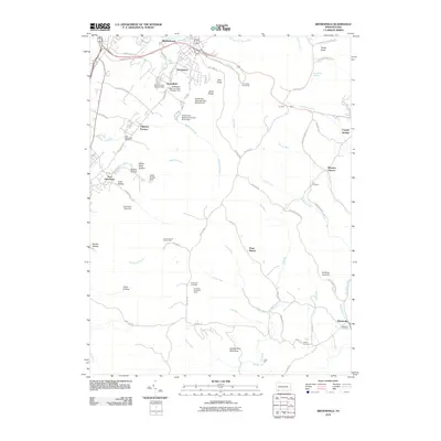
2010 Map of Brownfield
USGS Topo · Published 2010About this map
Wharton Furnace and Oliphant Furnace stand as markers of the industrial heritage in this corner of Fayette County, where the landscape transitions from established settlements to the dense forests of the Quebec Run Wild Area. The map reveals a cluster of residential and industrial development in the north near Brownfield and Hutchinson, supported by a series of reservoirs including Hutchinson Reservoir Dam Number One. Moving south and east, the terrain becomes increasingly complex, characterized by deep hollows like Cave Hollow and high points such as Fulton Knob. Genealogy researchers will find several well-defined burial sites, including Little White Rock Cemetery and Visitation Cemetery near Elliottsville. The presence of the Pond View Firetower and Pondfield 2 Lookout Tower suggests a landscape managed for conservation and fire surveillance among the numerous runs and creeks that feed into Big Sandy Creek.
Find a feature on this map
77 named features on this map. Tap any name to fly to it.
Don’t see what you’re looking for? This feature index may not catch every label — zoom into the map to look around manually.
Map Details
Editions of this 2010 Brownfield Map
This is the sole edition of this map. No revisions or reprints were ever made.
Other maps of this area

1900 · Uniontown
USGS Topo · 1:62,500

1900 · Masontown
USGS Topo · 1:62,500

1902 · Morgantown
USGS Topo · 1:62,500

1903 · Masontown
USGS Topo · 1:62,500

1904 · Bruceton
USGS Topo · 1:62,500

1925 · Morgantown
USGS Topo · 1:62,500

1926 · Bruceton
USGS Topo · 1:62,500

1931 · Uniontown
USGS Topo · 1:62,500

1931 · Masontown
USGS Topo · 1:62,500

1931 · Bruceton Mills
USGS Topo · 1:62,500
Featured Places
- North Union Township, PA
- Georges Township, PA
- Wharton Township, PA
- South Union Township, PA
- Point Breeze, Wharton Township