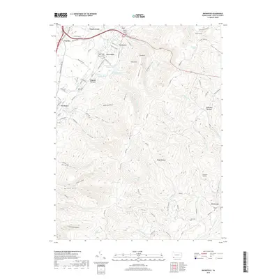
2019 Map of Brownfield
USGS Topo · Published 2019About this map
Oliphant Furnace and Wharton Furnace stand as markers of the industrial heritage of Fayette County, situated along the foot of the Chestnut Ridge. This 2019 survey captures the developed corridor of Morgantown Rd alongside the rugged eastern slopes where deep hollows like White Rock Hollow and Askon Hollow drain into the valley. The map reveals a high density of small family and community burial grounds, including the Old Wynn Cem and Little White Rock Cem, providing valuable location data for genealogists. To the north, the Hutchinson Reservoir Number One system is visible near Hutchinson, while the southern reaches move into more remote terrain around Quebec Run and the heights of Brethren Summit. This balance of historic industrial sites, small rural settlements like Fairchance, and conserved natural areas reflects the evolving land use in this part of the Appalachian plateau.
Find a feature on this map
92 named features on this map. Tap any name to fly to it.
Don’t see what you’re looking for? This feature index may not catch every label — zoom into the map to look around manually.
Map Details
Editions of this 2019 Brownfield Map
This is the sole edition of this map. No revisions or reprints were ever made.
Other maps of this area

1900 · Uniontown
USGS Topo · 1:62,500

1900 · Masontown
USGS Topo · 1:62,500

1902 · Morgantown
USGS Topo · 1:62,500

1903 · Masontown
USGS Topo · 1:62,500

1904 · Bruceton
USGS Topo · 1:62,500

1925 · Morgantown
USGS Topo · 1:62,500

1926 · Bruceton
USGS Topo · 1:62,500

1931 · Uniontown
USGS Topo · 1:62,500

1931 · Masontown
USGS Topo · 1:62,500

1931 · Bruceton Mills
USGS Topo · 1:62,500
Featured Places
- North Union Township, PA
- Georges Township, PA
- Wharton Township, PA
- South Union Township, PA
- Point Breeze, Wharton Township