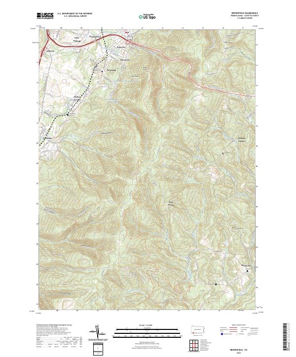
2023 Map of Brownfield
USGS Topo · Published 2023About this map
Industrial history and rugged Appalachian terrain converge in this part of Fayette County. The map highlights the legacy of the local iron industry through Wharton Furnace and Oliphant Furnace, markers of an era when these mountain slopes provided the necessary ore and fuel for early manufacturing. The landscape is defined by deep valleys like Trout Hollow and Askon Hollow, where water sources such as Redstone Creek and Lick Run drain the high ridges of Fulton Knob and Pine Knob.
Find a feature on this map
95 named features on this map. Tap any name to fly to it.
Don’t see what you’re looking for? This feature index may not catch every label — zoom into the map to look around manually.
Map Details
Editions of this 2023 Brownfield Map
This is the sole edition of this map. No revisions or reprints were ever made.
Other maps of this area

1900 · Uniontown
USGS Topo · 1:62,500

1900 · Masontown
USGS Topo · 1:62,500

1902 · Morgantown
USGS Topo · 1:62,500

1903 · Masontown
USGS Topo · 1:62,500

1904 · Bruceton
USGS Topo · 1:62,500

1925 · Morgantown
USGS Topo · 1:62,500

1926 · Bruceton
USGS Topo · 1:62,500

1931 · Uniontown
USGS Topo · 1:62,500

1931 · Masontown
USGS Topo · 1:62,500

1931 · Bruceton Mills
USGS Topo · 1:62,500
Featured Places
- North Union Township, PA
- South Union Township, PA
- Hutchinson, South Union Township
- Meadowbrook, South Union Township
- Point Breeze, Wharton Township