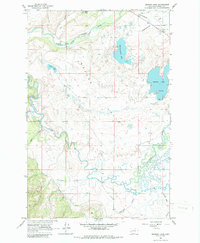
1965 Map of Browns Lake
USGS Topo · Published 1986About this map
The Nevada Valley floor dominates this 1965 survey, revealing a landscape defined by its complex hydrology and glacial remnants. The North Fork Blackfoot River and the main stem of the Blackfoot River meander through the terrain, joined by numerous tributaries such as Yourname Creek and McElwain Creek. Water is the primary feature of this area, centered around Browns Lake and the marshy edges of Kleinschmidt Lake.
Find a feature on this map
21 named features on this map. Tap any name to fly to it.
Don’t see what you’re looking for? This feature index may not catch every label — zoom into the map to look around manually.
Map Details
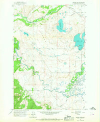
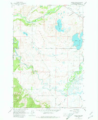
Editions of this 1965 Browns Lake Map
3 editions found
Other maps of this area

1889 · Helena
USGS Topo · 1:250,000

1893 · Helena
USGS Topo · 1:250,000

1899 · Helena
USGS Topo · 1:250,000

1902 · Ovando
USGS Topo · 1:125,000

1903 · Coopers Lake
USGS Topo · 1:125,000

1903 · Helena
USGS Topo · 1:250,000

1905 · Ovando
USGS Topo · 1:125,000

1919 · Drummond
USGS Topo · 1:125,000

1921 · Drummond
USGS Topo · 1:125,000

1947 · Butte
USGS Topo · 1:250,000