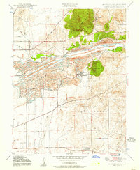
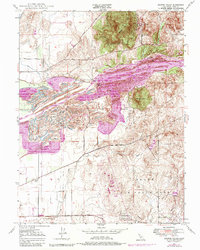
1947 Map of Browns Valley
USGS Topo · Published 1957About this map
The Yuba River carves a complex path through this landscape, where the legacies of hydraulic mining and large-scale dredging are etched into the terrain. In the years following World War II, the settlements of Hammonton and Marigold stand alongside extensive dredge tailings that dominate the river corridor. To the north, the hard-rock mining history of the Gold Country is evident at the Donnebroge Mine and Pennsylvania Mine near the base of Browns Valley Ridge. The southern portion of the map is defined by the sprawling Camp Beale Military Reservation, which transformed local land use during the era. Water management is a central theme, shown through the network of the Honcut Ditch, Cordua Canal, and the Daguerra Pt Dam, all supporting the agricultural transition of the Yuba County foothills.
Find a feature on this map
33 named features on this map. Tap any name to fly to it.
Don’t see what you’re looking for? This feature index may not catch every label — zoom into the map to look around manually.
Map Details
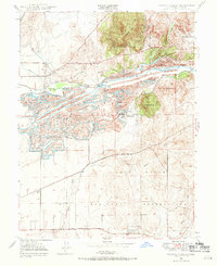
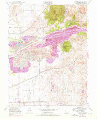
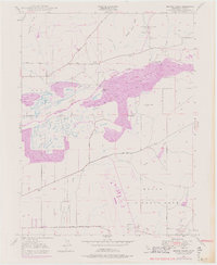
Editions of this 1947 Browns Valley Map
5 editions found
Other maps of this area

1888 · Marysville
USGS Topo · 1:125,000

1888 · Smartsville
USGS Topo · 1:125,000

1891 · Marysville
USGS Topo · 1:125,000

1891 · Smartsville
USGS Topo · 1:125,000

1892 · Smartsville
USGS Topo · 1:125,000

1894 · Smartsville
USGS Topo · 1:125,000

1894 · Marysville
USGS Topo · 1:125,000

1895 · Marysville
USGS Topo · 1:125,000

1895 · Smartsville
USGS Topo · 1:125,000

1910 · Wheatland
USGS Topo · 1:31,680