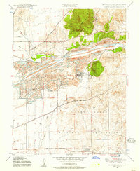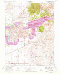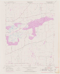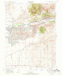
1947 Map of Browns Valley
USGS Topo · Published 1971This historical map portrays the area of Browns Valley in 1947, primarily covering Yuba County. Featuring a scale of 1:24000, this map provides a highly detailed snapshot of the terrain, roads, buildings, counties, and historical landmarks in the Browns Valley region at the time. Published in 1971, it is one of 5 known editions of this map due to revisions or reprints.
Map Details
Editions of this 1947 Browns Valley Map
5 editions found
Historical Maps of Yuba County Through Time
26 maps found
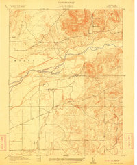
1911 Browns Valley
Yuba County, CA
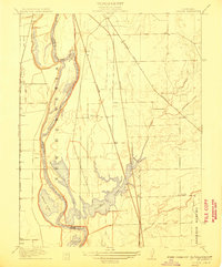
1911 Ostrom
Yuba County, CA
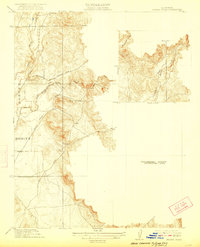
1912 Prairie Creek
Yuba County, CA
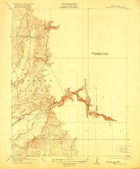
1915 Spenceville
Yuba County, CA
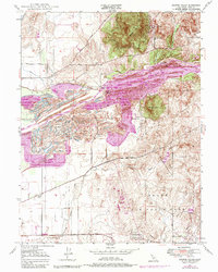
1947 Browns Valley
Yuba County, CA
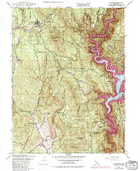
1948 Challenge
Yuba County, CA
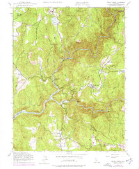
1948 French Corral
Yuba County, CA
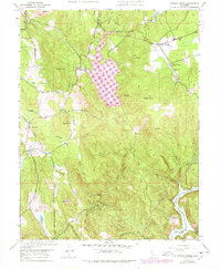
1948 Oregon House
Yuba County, CA
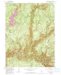
1948 Strawberry Valley
Yuba County, CA
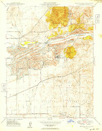
1949 Browns Valley
Yuba County, CA
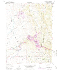
1949 Camp Far West
Yuba County, CA
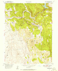
1949 Smartville
Yuba County, CA
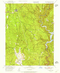
1950 Challenge
Yuba County, CA
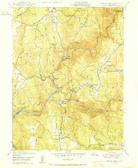
1950 French Corral
Yuba County, CA
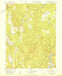
1950 Oregon House
Yuba County, CA
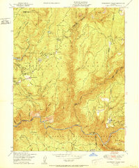
1950 Strawberry Valley
Yuba County, CA
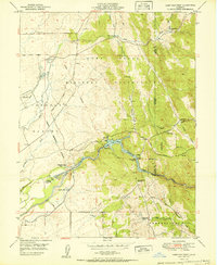
1951 Camp Far West
Yuba County, CA
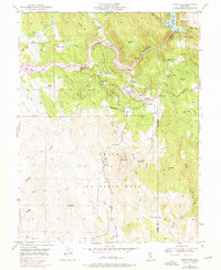
1951 Smartville
Yuba County, CA
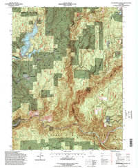
1994 Strawberry Valley
Yuba County, CA
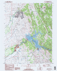
1995 Camp Far West
Yuba County, CA
1995 Challenge
Yuba County, CA
1995 French Corral
Yuba County, CA
1995 Oregon House
Yuba County, CA
1995 Smartville
Yuba County, CA
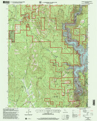
2000 Challenge
Yuba County, CA
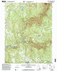
2000 French Corral
Yuba County, CA
