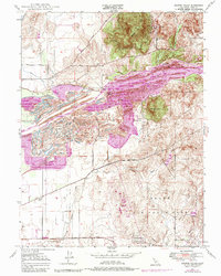
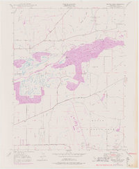
1947 Map of Browns Valley
USGS Topo · Published 1984About this map
The Yuba River corridor dominates this landscape, showing extensive modification through large-scale dredging and mining operations that have fundamentally reshaped the river valley. In the southern half of the map, the expansive Beale Air Force Base, formerly the Camp Beale Military Reservation, occupies a significant portion of the terrain, where buildings were omitted during the survey period.
Find a feature on this map
35 named features on this map. Tap any name to fly to it.
Don’t see what you’re looking for? This feature index may not catch every label — zoom into the map to look around manually.
Map Details
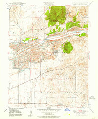
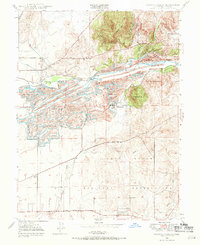
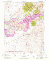
Editions of this 1947 Browns Valley Map
5 editions found
Other maps of this area

1888 · Marysville
USGS Topo · 1:125,000

1888 · Smartsville
USGS Topo · 1:125,000

1891 · Marysville
USGS Topo · 1:125,000

1891 · Smartsville
USGS Topo · 1:125,000

1892 · Smartsville
USGS Topo · 1:125,000

1894 · Smartsville
USGS Topo · 1:125,000

1894 · Marysville
USGS Topo · 1:125,000

1895 · Marysville
USGS Topo · 1:125,000

1895 · Smartsville
USGS Topo · 1:125,000

1910 · Wheatland
USGS Topo · 1:31,680