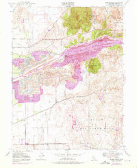
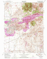
1947 Map of Browns Valley
USGS Topo · Published 1976About this map
Gold-dredging scars and the complex hydraulic history of the Yuba River define this landscape northeast of Marysville. Large-scale tailing deposits dominate the river corridor between Daguerre Point and Hammonton, revealing the intensive environmental transformation of the region during the mining era. To the north, the hills above Browns Valley are dotted with legacy operations like the Donnebroge Mine and Pennsylvania Mine, while the Browns Valley Ridge provides a natural barrier between the river valley and the northern ranch lands.
Find a feature on this map
29 named features on this map. Tap any name to fly to it.
Don’t see what you’re looking for? This feature index may not catch every label — zoom into the map to look around manually.
Map Details
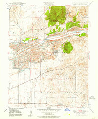
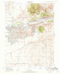
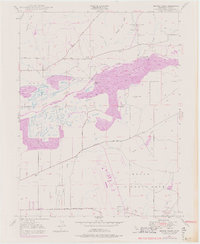
Editions of this 1947 Browns Valley Map
5 editions found
Other maps of this area

1888 · Marysville
USGS Topo · 1:125,000

1888 · Smartsville
USGS Topo · 1:125,000

1891 · Marysville
USGS Topo · 1:125,000

1891 · Smartsville
USGS Topo · 1:125,000

1892 · Smartsville
USGS Topo · 1:125,000

1894 · Smartsville
USGS Topo · 1:125,000

1894 · Marysville
USGS Topo · 1:125,000

1895 · Marysville
USGS Topo · 1:125,000

1895 · Smartsville
USGS Topo · 1:125,000

1910 · Wheatland
USGS Topo · 1:31,680