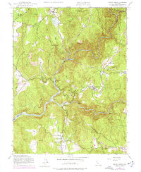
1948 Map of French Corral
USGS Topo · Published 1977About this map
South Yuba River and Middle Yuba River dominate this 1948 topographic landscape, reflecting the rugged water-management history of the Northern Mother Lode. The map documents a complex network of ditches, such as the Texas Hill Ditch and Excelsior Ditch, which once fed hydraulic mining operations like the San Juan Mine. Settled areas like French Corral and Birchville sit atop the ridges, while the Colgate Powerhouse marks an early era of hydroelectric development near the river junction. Historical sites like Rice Crossing and the Bridgeport crossing, with its nearby Cemetery, provide important markers for genealogists tracing early families in the region. The map also includes the northern reach of Harry L Englebright Lake and the rural community of Dobbins near Lake Francis.
Find a feature on this map
53 named features on this map. Tap any name to fly to it.
Don’t see what you’re looking for? This feature index may not catch every label — zoom into the map to look around manually.
Map Details
Editions of this 1948 French Corral Map
4 editions found
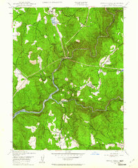
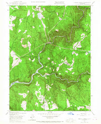
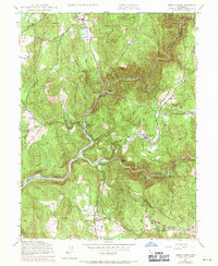
Other maps of this area

1888 · Smartsville
USGS Topo · 1:125,000

1891 · Smartsville
USGS Topo · 1:125,000

1892 · Smartsville
USGS Topo · 1:125,000

1894 · Smartsville
USGS Topo · 1:125,000

1895 · Smartsville
USGS Topo · 1:125,000

1941 · Bangor
USGS Topo · 1:62,500

1944 · Bangor
USGS Topo · 1:62,500

1948 · Nevada City
USGS Topo · 1:62,500
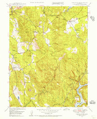
1948 · Oregon House
USGS Topo · 1:24,000
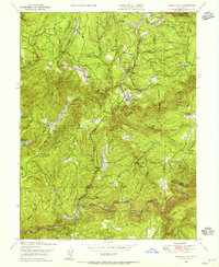
1948 · Camptonville
USGS Topo · 1:24,000