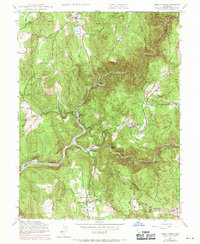
1948 Map of French Corral
USGS Topo · Published 1971About this map
Yuba River canyon topography dominates this Northern California landscape, where the confluence of the north, middle, and south forks shaped the gold-rush era's development. The settlement of French Corral serves as a historic focal point near Birchville, while the South Yuba River meanders through steep terrain marked by names like Starvation Bar and Buttermilk Bend. The presence of the Excelsior Ditch and Milton Ditch reveals the complex water-management systems built to support hydraulic mining and later power generation, such as the Colgate Powerhouse. While the San Juan Mine reflects the decline of earlier industry, the 1969 revisions highlight the growing footprint of the Englebright Reservoir. Scattered family homesteads like Richards Ranch and Schwartz Ranch underscore the transition to agricultural and ranching life in the foothills above Pleasant Valley.
Find a feature on this map
44 named features on this map. Tap any name to fly to it.
Don’t see what you’re looking for? This feature index may not catch every label — zoom into the map to look around manually.
Map Details
Editions of this 1948 French Corral Map
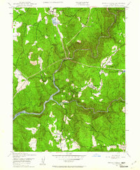
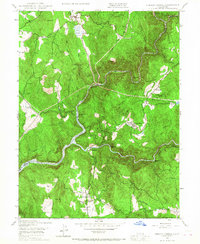
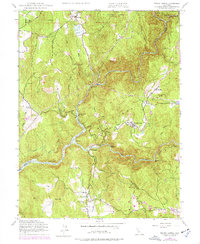
4 editions found
Other maps of this area

1888 · Smartsville
USGS Topo · 1:125,000

1891 · Smartsville
USGS Topo · 1:125,000

1892 · Smartsville
USGS Topo · 1:125,000

1894 · Smartsville
USGS Topo · 1:125,000

1895 · Smartsville
USGS Topo · 1:125,000

1941 · Bangor
USGS Topo · 1:62,500

1944 · Bangor
USGS Topo · 1:62,500

1948 · Nevada City
USGS Topo · 1:62,500
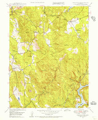
1948 · Oregon House
USGS Topo · 1:24,000
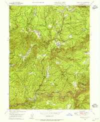
1948 · Camptonville
USGS Topo · 1:24,000