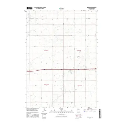
2016 Map of Brownsdale
USGS Topo · Published 2016About this map
Brownsdale serves as the primary hub in this portion of Mower County, situated along the upper reaches of Wolf Cr. The landscape is defined by a dense grid of township roads and agricultural sections, punctuated by small rural settlements and pioneer burial sites. To the east, the hamlet of Renova sits near the headwaters of Dobbins Cr, while the community of Nicolville is positioned further south. This area is characterized by its numerous family and denominational cemeteries, including Hoflanda Cem and the Trinity Evangelical Lutheran Cem, which indicate the deep-rooted immigrant and agrarian heritage of the region. The drainage patterns of the Little Cedar River and Rose Cr create the only notable breaks in the otherwise orderly section lines of the Public Land Survey System.
Find a feature on this map
44 named features on this map. Tap any name to fly to it.
Don’t see what you’re looking for? This feature index may not catch every label — zoom into the map to look around manually.
Map Details
Editions of this 2016 Brownsdale Map
This is the sole edition of this map. No revisions or reprints were ever made.
Other maps of this area

1954 · Austin
USGS Topo · 1:62,500

1954 · Mason City
USGS Topo · 1:250,000

1955 · High Forest
USGS Topo · 1:62,500

1957 · Mason City
USGS Topo · 1:250,000

1958 · Mason City
USGS Topo · 1:250,000

1965 · Dexter
USGS Topo · 1:24,000

1965 · Adams
USGS Topo · 1:24,000

1966 · Waltham
USGS Topo · 1:24,000

1966 · Sargeant
USGS Topo · 1:24,000
1974 · High Forest SW
USGS Topo · 1:24,000