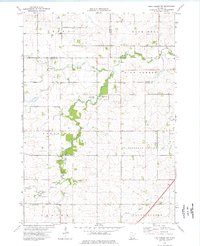
1974 Map of High Forest SW
USGS Topo · Published 1976About this map
Sargeant and Pleasant Valley townships define this agricultural landscape in Mower County during the mid-1970s. The topography is dominated by the winding course of the Root River and its North Branch, which cut through the fertile till plains of southern Minnesota. These waterways are accompanied by numerous Gravel Pits, signaling the local extraction economy that supported road building and regional infrastructure at the time.
Find a feature on this map
19 named features on this map. Tap any name to fly to it.
Don’t see what you’re looking for? This feature index may not catch every label — zoom into the map to look around manually.
Map Details
Editions of this 1974 High Forest SW Map
This is the sole edition of this map. No revisions or reprints were ever made.
Other maps of this area

1954 · Austin
USGS Topo · 1:62,500

1954 · Mason City
USGS Topo · 1:250,000

1955 · High Forest
USGS Topo · 1:62,500

1957 · Mason City
USGS Topo · 1:250,000

1958 · Mason City
USGS Topo · 1:250,000

1965 · Dexter
USGS Topo · 1:24,000

1965 · Grand Meadow
USGS Topo · 1:24,000
1966 · Hayfield
USGS Topo · 1:24,000

1966 · Sargeant
USGS Topo · 1:24,000
1974 · Rock Dell
USGS Topo · 1:24,000