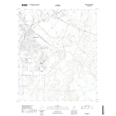
2019 Map of Brownwood
USGS Topo · Published 2019About this map
Brownwood stands as the central hub in this modern Texas survey, where the convergence of major highways and local streets marks a landscape shaped by both urban expansion and its hydrographic network. The city is flanked by Early to the northeast and the residential enclave of Woodland Heights to the south. The terrain is defined by the winding course of Pecan Bayou, which is fed by numerous tributaries including Adams Br, Delaware Cr, and Willis Cr.
Find a feature on this map
199 named features on this map. Tap any name to fly to it.
Don’t see what you’re looking for? This feature index may not catch every label — zoom into the map to look around manually.
Map Details
Editions of this 2019 Brownwood Map
This is the sole edition of this map. No revisions or reprints were ever made.
Other maps of this area

1887 · Coleman
USGS Topo · 1:125,000

1889 · Brownwood
USGS Topo · 1:125,000

1889 · Coleman
USGS Topo · 1:125,000

1894 · Brownwood
USGS Topo · 1:125,000

1924 · Brownwood Reservoir Site
USGS Topo · 1:48,000

1925 · Brownwood 3-b
USGS Topo · 1:48,000

1925 · Brownwood 3-d
USGS Topo · 1:48,000

1927 · Grosvenor
USGS Topo · 1:62,500

1928 · Zephyr
USGS Topo · 1:62,500

1950 · Zephyr
USGS Topo · 1:62,500