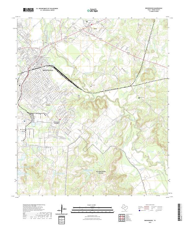
2022 Map of Brownwood
USGS Topo · Published 2022About this map
Brownwood serves as the focal point of this 2022 survey, positioned at the confluence of several vital watercourses including Adams Br and the winding Pecan Bayou. The town's institutional character is anchored by Howard Payne University and the Brown County Courthouse, while residential growth extends into areas like Woodland Heights. To the northeast, the separate settlement of Early is clearly defined, linked to the larger city by the crossing of major thoroughfares like Early Blvd.
Find a feature on this map
208 named features on this map. Tap any name to fly to it.
Don’t see what you’re looking for? This feature index may not catch every label — zoom into the map to look around manually.
Map Details
Editions of this 2022 Brownwood Map
This is the sole edition of this map. No revisions or reprints were ever made.
Other maps of this area

1887 · Coleman
USGS Topo · 1:125,000

1889 · Brownwood
USGS Topo · 1:125,000

1889 · Coleman
USGS Topo · 1:125,000

1894 · Brownwood
USGS Topo · 1:125,000

1924 · Brownwood Reservoir Site
USGS Topo · 1:48,000

1925 · Brownwood 3-b
USGS Topo · 1:48,000

1925 · Brownwood 3-d
USGS Topo · 1:48,000

1927 · Grosvenor
USGS Topo · 1:62,500

1928 · Zephyr
USGS Topo · 1:62,500

1950 · Zephyr
USGS Topo · 1:62,500