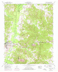
1950 Map of Bruceton
USGS Topo · Published 1975About this map
The Louisville and Nashville railroad corridor serves as the primary artery through this West Tennessee landscape, anchoring the town of Bruceton, where a gaging station and series of settling ponds indicate the intersection of industrial transport and water management. The topography is defined by the Big Sandy River, which is supplemented by an extensive network of drainage projects including the Martin, Lick, and Allen drainage canals.
Find a feature on this map
35 named features on this map. Tap any name to fly to it.
Don’t see what you’re looking for? This feature index may not catch every label — zoom into the map to look around manually.
Map Details
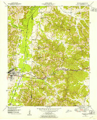
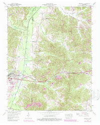
Editions of this 1950 Bruceton Map
3 editions found
Other maps of this area

1936 · Camden
USGS Topo · 1:24,000

1936 · Seventeen Creek
USGS Topo · 1:24,000

1936 · Big Sandy
USGS Topo · 1:24,000

1936 · Mansfield
USGS Topo · 1:24,000

1936 · Vale
USGS Topo · 1:24,000

1936 · Bruceton
USGS Topo · 1:24,000

1936 · Buena Vista
USGS Topo · 1:24,000

1936 · Rockport
USGS Topo · 1:24,000

1936 · Manleyville
USGS Topo · 1:24,000

1940 · Manleyville
USGS Topo · 1:24,000