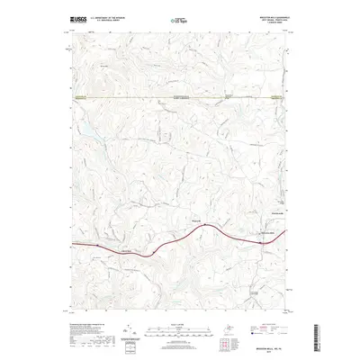
2019 Map of Bruceton Mills
USGS Topo · Published 2019About this map
Bruceton Mills and the nearby village of Brandonville anchor this map at the intersection of local history and Appalachian geography. Situated near the Pennsylvania and West Virginia state line, the area is defined by the winding course of Big Sandy Creek and its many tributaries, such as Little Sandy Creek and Patterson Run. The landscape is a network of old schools and country cemeteries, including Wirsing School and East View Cem, which offer significant points of interest for genealogists tracing local families.
Find a feature on this map
99 named features on this map. Tap any name to fly to it.
Don’t see what you’re looking for? This feature index may not catch every label — zoom into the map to look around manually.
Map Details
Editions of this 2019 Bruceton Mills Map
This is the sole edition of this map. No revisions or reprints were ever made.
Other maps of this area

1900 · Uniontown
USGS Topo · 1:62,500

1900 · Masontown
USGS Topo · 1:62,500

1902 · Morgantown
USGS Topo · 1:62,500

1903 · Masontown
USGS Topo · 1:62,500

1904 · Bruceton
USGS Topo · 1:62,500

1925 · Morgantown
USGS Topo · 1:62,500

1926 · Bruceton
USGS Topo · 1:62,500

1931 · Uniontown
USGS Topo · 1:62,500

1931 · Masontown
USGS Topo · 1:62,500

1931 · Bruceton Mills
USGS Topo · 1:62,500