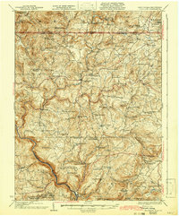
1933 Map of Bruceton
USGS Topo · Published 1942About this map
Cheat River carves a deep path through the southwestern corner of this West Virginia and Pennsylvania borderland, defining a landscape of high ridges and narrow valleys. This 1933 edition, revised from earlier fieldwork, shows a rural landscape densely populated with country schools and churches that served small agrarian communities. The settlement of Bruceton Mills stands near the center of the sheet along Big Sandy Creek, while industrial activity is localized at the Gaflisch Mine and timber or grain processing at Ruthbelle Mill. A high concentration of educational sites, such as the Wymps Gap School and Glade Meadow School, reflects the decentralized nature of social life before rural school consolidation. Geologically, the area is bounded by prominent elevations including Chestnut Ridge and Laurel Mountain, with the interstate Pennsylvania West Virginia Boundary Line cutting through the northern third of the map.
Find a feature on this map
105 named features on this map. Tap any name to fly to it.
Don’t see what you’re looking for? This feature index may not catch every label — zoom into the map to look around manually.
Map Details
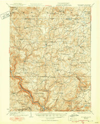
Editions of this 1933 Bruceton Map
3 editions found

Other maps of this area

1886 · St. George
USGS Topo · 1:125,000

1891 · St. George
USGS Topo · 1:125,000

1895 · Piedmont
USGS Topo · 1:125,000

1899 · Oakland
USGS Topo · 1:62,500

1900 · Accident
USGS Topo · 1:62,500

1900 · Oakland
USGS Topo · 1:62,500

1900 · Uniontown
USGS Topo · 1:62,500

1900 · Masontown
USGS Topo · 1:62,500

1902 · Morgantown
USGS Topo · 1:62,500

1903 · Masontown
USGS Topo · 1:62,500