
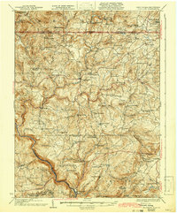
1933 Map of Bruceton
USGS Topo · Published 1933About this map
Bruceton Mills and Brandonville serve as central hubs in this early 20th-century landscape, where a dense network of country schools and churches reflects a highly decentralized rural population. The terrain is defined by the winding course of Big Sandy Creek and its many tributaries, such as Little Sandy Creek and Glade Run, which historically supported local industry like Clifton Mills and Ruthbelle Mill. The southern edge of the map shows the transition into more industrial activity near the Baltimore and Ohio Railroad, including the Caflisch Mine and the community of Sutherland.
Find a feature on this map
99 named features on this map. Tap any name to fly to it.
Don’t see what you’re looking for? This feature index may not catch every label — zoom into the map to look around manually.
Map Details
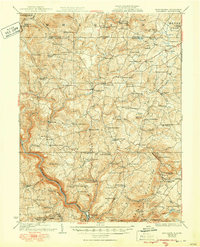
Editions of this 1933 Bruceton Map
3 editions found
Other maps of this area

1886 · St. George
USGS Topo · 1:125,000

1891 · St. George
USGS Topo · 1:125,000

1895 · Piedmont
USGS Topo · 1:125,000

1899 · Oakland
USGS Topo · 1:62,500

1900 · Accident
USGS Topo · 1:62,500

1900 · Oakland
USGS Topo · 1:62,500

1900 · Uniontown
USGS Topo · 1:62,500

1900 · Masontown
USGS Topo · 1:62,500

1902 · Morgantown
USGS Topo · 1:62,500

1903 · Masontown
USGS Topo · 1:62,500