
1960 Map of Brule Lake
USGS Topo · Published 1962About this map
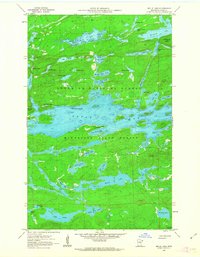
Brule Lake dominates this 1960 landscape within the Superior National Forest and Minnesota State Forest. The complex waterway includes notable features like Fishbox Island, Jock Mock Bay, and Cone Bay, reflecting the intricate glacial topography of Cook County. To the northeast, the Misquah Hills rise above a dense network of smaller water bodies such as Winchell Lake and Davis Lake. On the southern shore, the Brule Lake Lookout Tower provides a fixed landmark overlooking the deep blue waters and the many islands, including Brule Island. This survey, field-checked just as the modern wilderness management era was taking shape, records a territory defined almost entirely by its hydrology and timber, with only unimproved dirt roads providing access to the interior.
Find a feature on this map
61 named features on this map. Tap any name to fly to it.
Don’t see what you’re looking for? This feature index may not catch every label — zoom into the map to look around manually.
Map Details
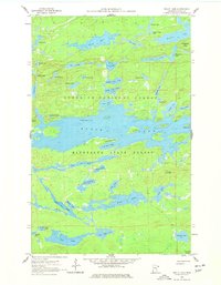
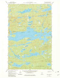
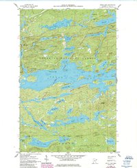
Editions of this 1960 Brule Lake Map
5 editions found
Other maps of this area

1919 · Brule Lake
USGS Topo · 1:62,500

1954 · Two Harbors
USGS Topo · 1:250,000

1957 · Two Harbors
USGS Topo · 1:250,000

1957 · Quetico
USGS Topo · 1:250,000

1958 · Two Harbors
USGS Topo · 1:250,000

1960 · Tait Lake
USGS Topo · 1:24,000

1960 · Mark Lake
USGS Topo · 1:24,000
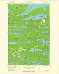
1960 · South Lake
USGS Topo · 1:24,000

1960 · Sawbill Camp
USGS Topo · 1:24,000
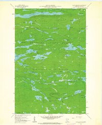
1960 · Eagle Mountain
USGS Topo · 1:24,000