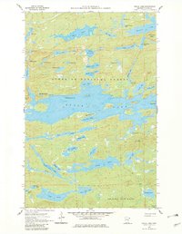
1960 Map of Brule Lake
USGS Topo · Published 1982About this map
The Misquah Hills dominate this portion of the Arrowhead region, providing a high-altitude backdrop to a complex system of interconnected waterways. Centered on the sprawling expanse of Brule Lake, the landscape is defined by its deep bays and numerous islands, including Fishbox Island and Brule Island. This survey, compiled from 1958 aerial photography and field-checked in 1960, documents the boundary between the Superior National Forest and Pat Bayle State Forest.
Find a feature on this map
51 named features on this map. Tap any name to fly to it.
Don’t see what you’re looking for? This feature index may not catch every label — zoom into the map to look around manually.
Map Details
Editions of this 1960 Brule Lake Map
5 editions found

Other maps of this area

1919 · Brule Lake
USGS Topo · 1:62,500

1954 · Two Harbors
USGS Topo · 1:250,000

1957 · Two Harbors
USGS Topo · 1:250,000

1957 · Quetico
USGS Topo · 1:250,000

1958 · Two Harbors
USGS Topo · 1:250,000

1960 · Tait Lake
USGS Topo · 1:24,000

1960 · Mark Lake
USGS Topo · 1:24,000
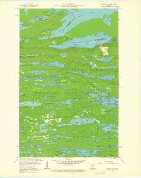
1960 · South Lake
USGS Topo · 1:24,000

1960 · Sawbill Camp
USGS Topo · 1:24,000
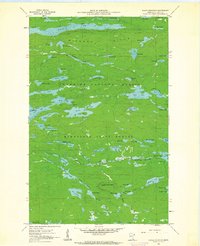
1960 · Eagle Mountain
USGS Topo · 1:24,000