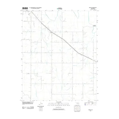
2010 Map of Bruno
USGS Topo · Published 2010About this map
Muddy Boggy Creek and its many tributaries, including Sand Creek and Rock Creek, create a complex drainage network across this portion of Oklahoma. The landscape is defined by these winding watercourses and the rural settlement of Bruno, situated along a diagonal corridor that cuts through the rectilinear grid of county roads. To the northwest, the elevation rises slightly at Scratch Hill, while the far northeast features a notable point on the water known as Half Bank Crossing. Local history and genealogy are centered around the Bethany Cemetery located in the southwestern quadrant near West Branch Caney Creek. The map documents a sparsely populated area where the economy and community life revolve around the creek basins and a network of gravel and paved routes like S Bentley Rd and Buffalo Creek Rd.
Find a feature on this map
35 named features on this map. Tap any name to fly to it.
Don’t see what you’re looking for? This feature index may not catch every label — zoom into the map to look around manually.
Map Details
Editions of this 2010 Bruno Map
This is the sole edition of this map. No revisions or reprints were ever made.
Other maps of this area

1899 · Atoka
USGS Topo · 1:125,000

1900 · Atoka
USGS Topo · 1:125,000

1901 · Antlers
USGS Topo · 1:125,000

1912 · Antlers
USGS Topo · 1:125,000

1925 · Antlers
USGS Topo · 1:125,000

1950 · Mcalester
USGS Topo · 1:250,000

1956 · Stringtown
USGS Topo · 1:24,000

1957 · Lane NW
USGS Topo · 1:24,000

1957 · Lehigh
USGS Topo · 1:24,000

1957 · Bruno
USGS Topo · 1:24,000